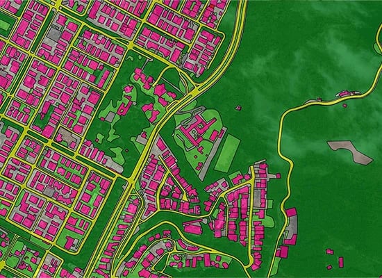
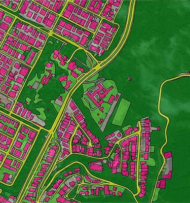
GIS
Focus provides comprehensive GIS Data analysis be it volume calculation or other visual assessments of structures. We also vectorize structures and spaces utilizing location, geographic and descriptive data. Multiple sources of data and acquisition methods can also be integrated to give you the desired output.
We translate complex drone telemetry and LiDAR datasets into ground-truthed, engineering-grade assets ready for immediate CAD integration.
Precision from orbit to office.
01 / Acquisition
02 / Calibration
03 / Integration
Our autonomous drone fleets capture high-resolution aerial telemetry and LiDAR scans under optimal, high-contrast daylight conditions.
We rigorously ground-truth every pixel of raw data against established physical benchmarks to achieve absolute, sub-centimeter coordinate alignment.
Fully structured spatial intelligence is delivered directly into your existing CAD and GIS workflows for immediate engineering use.
Ready to ground-truth your next project?
Connect directly with our engineering directors to scope your precise aerial surveying parameters and telemetry integration requirements.