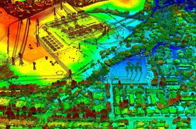
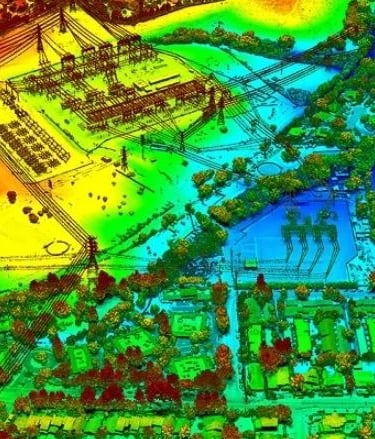
LiDAR
Our skilled operators provide accurate laser-sharp mapping and classification solutions. Focus’s LiDAR services map topographic data with very fine resolutions including 3D polyline, contour, and other planimetric features.
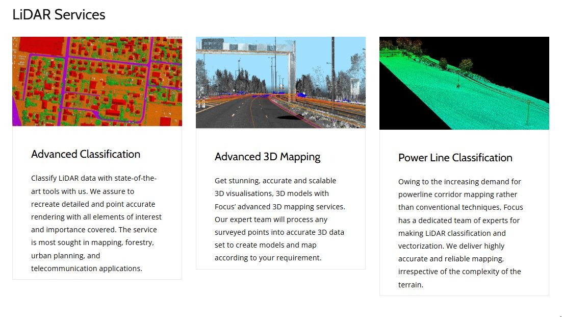
Some of our LiDAR offerings
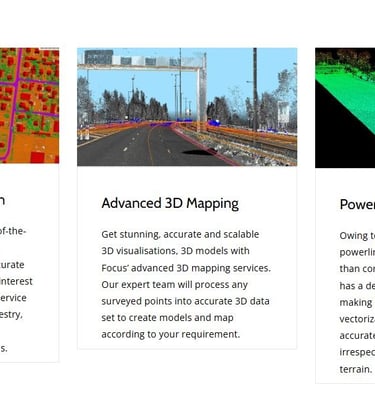
Advanced Classification
Advanced 3D Mapping
Power Line Classification
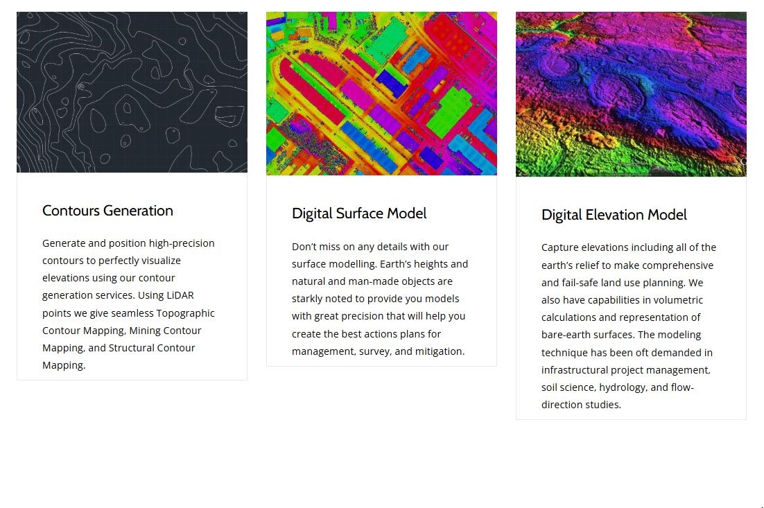
Contours
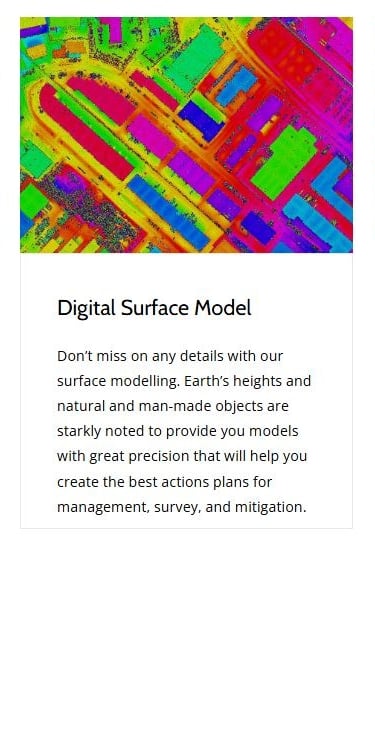
Digital Surface Model
Digital Elevation Model
Complete topographic Mapping
Engineered Spatial Solutions
Three specialized methodologies designed to deliver absolute topographic precision and direct CAD integration for critical infrastructure projects.
LiDAR Surveying
Orthomosaic Mapping
Environmental Analysis
High-altitude sensor deployment capturing millions of coordinate points through dense canopy. Delivers highly accurate bare-earth digital elevation models.
Sub-centimeter orthorectified aerial imagery stitched and ground-truthed against physical benchmarks. Perfect for precise GIS and CAD integration.
Multispectral telemetry and spatial data analysis for environmental compliance, volumetric calculations, and runoff risk forecasting.
Precision from orbit to office.
01 / Acquisition
02 / Calibration
03 / Integration
Our autonomous drone fleets capture high-resolution aerial telemetry and LiDAR scans under optimal, high-contrast daylight conditions.
We rigorously ground-truth every pixel of raw data against established physical benchmarks to achieve absolute, sub-centimeter coordinate alignment.
Fully structured spatial intelligence is delivered directly into your existing CAD and GIS workflows for immediate engineering use.
Ready to ground-truth your next project?
Connect directly with our engineering directors to scope your precise aerial surveying parameters and telemetry integration requirements.