Photogrammetry
ORBIT has rich experience in providing high-precision imaging, measurements, and planimetric mapping using advanced 3D visualization and data processing. We also work on photogrammetric aerial cameras, satellite Images, and drone data to arrive at high-accuracy spatial data.
Some of our photogrammetry solutions
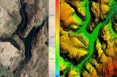
Digital Elevation Modelling.
Planimetric Collection
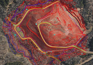
Contour Generation
Digital Surface Modelling
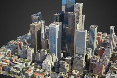
3D City Models
Aerial Triangulation
Orthophoto
Photogrammetry Services
Planimetric Data Collection
Orthomosaic Mapping
Digital Elevation Modelling
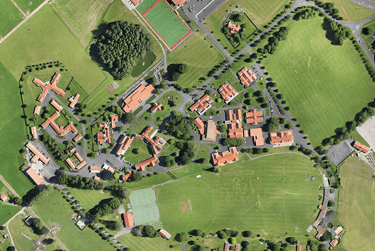
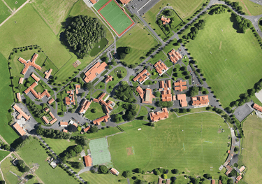
Get the most efficient, accurate, and aesthetically pleasing planimetric data for your project. No matter the area or terrain, our experienced team will deliver you a compelling virtual reproduction. Our rigorous quality checks ensure that you get only get the best results in the data format or specification of your choice.
Our orthophoto services also include rectification of satellite, aerial, and Drone images, Construction of orthophoto mosaics, Geo-referencing, Orthophoto color balancing, seam-line editing, and tile cutting. We also offer Orthophoto maps, True orthophoto maps, and Infrared orthophoto maps
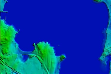
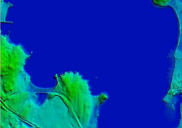
Achieve high-quality 3D modeling, volumetric calculations, and representation of bare-earth surfaces with our digital elevation modeling services. Elevation data are captured including all of the Earth’s reliefs to help you in land-use planning, infrastructural project management, soil science, hydrology, and flow-direction studies.
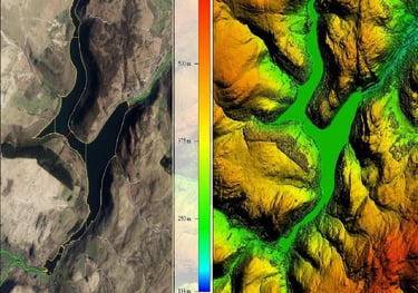
Digital Surface Model
We create digital surface models realizing the need for niche management, planning or mitigation efforts that may be required immediately or in the future. Satellite, aerial, and survey material data are used to create an accurate 3D representation of the region of interest. Get high detailing in the rendering that will take into account the earth’s surface heights at various points, and natural and man-made objects.
Contours Generation
We exploit high-precision techniques to generate and place accurate and smooth contours. Realize and visualize elevations accurately as per your contour intervals using our contour generation services. We provide Topographic Contour Mapping, Mining Contour Mapping and Structural Contour Mapping.
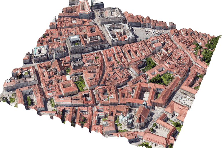
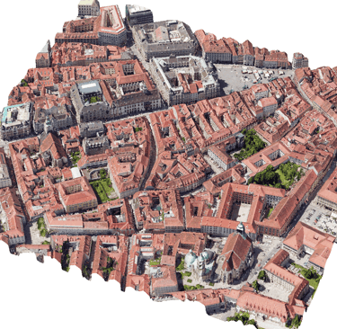
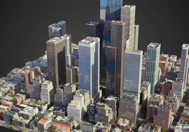
3D city modeling
Our 3D city recreations using advanced photogrammetric techniques help you make informed management decisions and stunning presentations. The visualizations are perfectly recreated according to your requirements. The 3D data collected by us will give a seamless 3D city mesh models to help you set the context to any scenario or development plans.
Precision from Orbit to office.
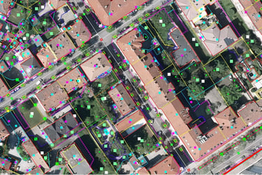
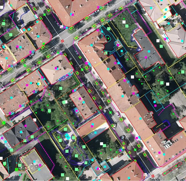
01 / Acquisition
02 / Calibration
03 / Integration
Our autonomous drone fleets capture high-resolution aerial telemetry and LiDAR scans under optimal, high-contrast daylight conditions.
We rigorously ground-truth every pixel of raw data against established physical benchmarks to achieve absolute, sub-centimeter coordinate alignment.
Fully structured spatial intelligence is delivered directly into your existing CAD and GIS workflows for immediate engineering use.
Ready to ground-truth your next project?
Connect directly with our engineering directors to scope your precise aerial surveying parameters and telemetry integration requirements.